本部分說明
以下為專案管理員主題:設定、成員、表單類型、儀表板與整合。此處變更會影響整個專案。
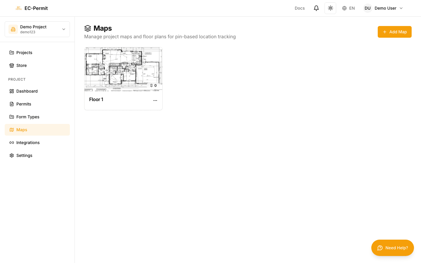
地圖和地點
上傳網站地圖並啟用表單的位置追蹤。視覺化您站點上哪些許可證處於活動狀態。
網站地圖

上傳您所在位置的平面圖、場地佈局或鳥瞰圖。
上傳地圖
前往
地圖
在側邊欄中
點選
「上傳地圖」
選擇圖像檔案(PNG、JPG 或 PDF)
為您的地圖命名(例如「底層」、「場地平面圖」)
當使用者放大放置圖釘時,請使用高解析度影像(至少 2000 像素寬)以獲得最佳效果。 PNG 格式可以最好地保留品質。
地點問題

在表單中新增「地圖圖釘」問題類型,以便使用者標記位置。
當使用者填寫表單時:
他們點擊站點地圖來放置圖釘
可以拖曳圖釘來調整位置
座標與表單一起保存
圖釘顯示在地圖視覺化上
地圖視覺化
查看網站地圖上的所有有效許可證:
按表單類型或狀態進行顏色編碼的引腳
點擊圖釘查看表單詳細信息
依表單類型、狀態或日期篩選
縮放和平移以探索
多張地圖

您可以上傳不同區域的多張地圖:
建築物的不同樓層
站點的不同區域
概述和詳細視圖
使用者在放置位置圖釘時選擇要使用的地圖。
儀表板和分析
VIP 及專題商店
後續步驟
建議繼續閱讀: